.png)

Structured Data Collection
& Platform Alignment
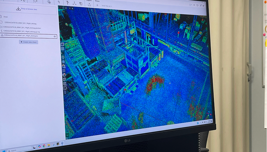
Effective integration begins with consistent data capture. Mission planning platforms support structured flight execution, repeatable capture standards, and metadata organization aligned with inspection objectives. Examples include Drone Harmony, gNext, and Buzz Solutions.
We work with teams to identify and align the right platform, defining:
•Capture parameters that align with inspection requirements
•Repeatable flight patterns for longitudinal comparison
•Metadata standards for asset tracking and reporting
•File naming and documentation protocols for enterprise use

Inspection &
Analysis Platforms
Inspection teams rely on analysis tools to evaluate imagery, identify anomalies, and prioritize maintenance actions. Platforms such as iHawk, gNext, Buzz Solutions, and other OEM-specific inspection software translate raw imagery into reports and asset-level insights.
Integration considerations include:
•Compatibility with GIS and asset management systems
•Role-based access for analysts, inspectors, and stakeholders
•Data traceability for regulatory and compliance documentation
•Secure transfer between field teams and analytical review groups
Enterprise Integration
& GIS Alignment
Inspection outputs often need to integrate into existing enterprise systems, including:
•GIS platforms
•Asset management software
•Compliance documentation systems
•Maintenance tracking tools
Gresco UAS supports alignment between data capture platforms and enterprise environments to reduce data silos and improve cross-functional coordination.

Secure Storage, Processing
& Workflow Automation
Data governance is critical for infrastructure operators. Secure storage solutions, processing pipelines, and workflow automation tools support:
•Controlled data access
•Version tracking and documentation
•Automated report generation
•Long-term asset history management
Structured integration helps organizations maintain compliance readiness while improving operational efficiency.

Align UAS Data with
Operational Workflows
Data integration is more than a one-time configuration. As programs mature, workflows evolve to support new use cases, increasing asset coverage and regulatory oversight. Gresco UAS works alongside operational, analytical, and IT teams to align inspection data with long-term enterprise objectives.
Frequently Asked Questions
How can drones and robotics support mapping and data collection?
What types of mapping data can be produced by drones and robotics?
How accurate is mapping data collected by drones and robotics?
Can drone and robotics mapping data integrate with GIS or asset management systems?
What software platforms are used for the processing and analysis of drone and robotics mapping data?
How frequently should drone and robotics mapping data be collected?
• Transmission and distribution: Seasonal or post-storm assessments
• Solar or renewable sites: Monthly to quarterly thermal inspections
• Construction or infrastructure: Project milestones or progress updates