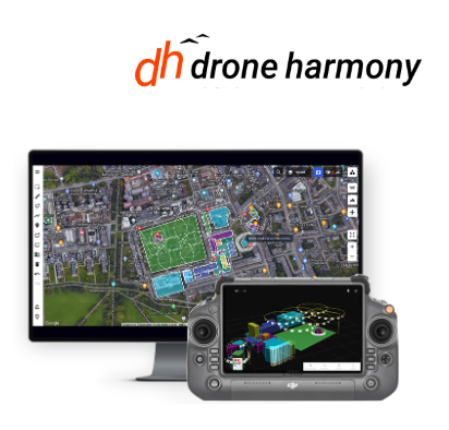
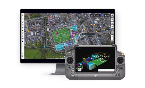
Drone Harmony 3D Flight Planning Software provides tools for planning automated drone missions around complex structures and across challenging terrain. The platform helps operators establish consistent distance, altitude, and coverage during mission planning while providing real-time mission control during flight. It is designed to standardize image collection across flights and teams for mapping, surveying, inspection, and 3D reconstruction workflows.
The software is designed for complex drone operations in environments such as mines, quarries, forests, and industrial sites. Its 3D flight planning capabilities support applications including drone mapping, surveying, infrastructure and asset inspection, industrial data collection, and other missions that require structured flight paths around terrain or complex structures.
3D Flight Planning
Drone Harmony enables operators to design automated flight paths around complex structures and across challenging terrain. Mission planning can maintain consistent distance, altitude, and coverage to support structured data collection for mapping, surveying, inspection, and 3D reconstruction.
Complex Mapping and Surveying
The 3D flight planning software is designed for mapping and surveying missions in complex environments. Drone Harmony specifically identifies mines, quarries, forests, and industrial sites as supported operating environments where advanced 3D planning can be used to establish the required flight path and data coverage.
Mission Control
Drone Harmony provides real-time mission control for executing and monitoring planned drone missions. Pilots maintain visibility and control throughout the operation while following the planned mission.
Consistent Data Capture
Drone Harmony standardizes data collection across flights and teams to support consistent imagery capture. The collected imagery can be used for mapping, surveying, inspection, and 3D reconstruction workflows.
Complex Structures and Terrain
3D flight planning allows automated flight paths to be designed around complex structures and across challenging terrain while maintaining planned distance, altitude, and coverage. This functionality supports data collection in locations such as industrial sites, mines, quarries, and forests.
Mapping Applications
Drone Harmony supports drone mapping and surveying missions that require structured flight planning and consistent imagery. The platform can be used to plan data capture in complex environments where terrain and structures need to be incorporated into the flight plan.
Inspection Applications
Drone Harmony supports inspection missions around complex structures using automated 3D flight paths. Consistent flight distance, altitude, and coverage help standardize imagery collection across inspection flights and teams.
3D Reconstruction
The platform supports standardized imagery collection for 3D reconstruction workflows. Operators can plan flight paths and coverage around structures and terrain to collect imagery according to the requirements of the planned mission.
Key Features:
- Advanced 3D drone flight planning
- Automated flight paths around complex structures
- Flight planning across challenging terrain
- Consistent distance, altitude, and coverage during planned missions
- Real-time mission execution and monitoring
- Standardized data collection across flights and teams
- Supports mapping and surveying workflows
- Supports inspection missions
- Supports imagery collection for 3D reconstruction
- Designed for operations in mines and quarries
- Supports forest and industrial site missions
Note: Drone Harmony offers a tier-based system designed to provide enterprises with the comprehensive coverage they need. Each tier is tailored to meet specific operational requirements, ensuring flexibility and scalability for businesses of all sizes.