WingtraGROUND is a portable GNSS survey kit designed to simplify base station and checkpoint setup for drone mapping. The system integrates GNSS receivers, tripods, ground targets, survey nails, and a hammer in a portable hard case, with step-by-step guidance for setup and data collection. Receiver data synchronizes directly with Wingtra software to support an integrated workflow for GNSS data collection, checkpoint verification, PPK image geotagging, and drone mapping.
WingtraGROUND supports professional drone surveying and mapping applications where accurate ground positioning and deliverable verification are required. The Wingtra workflow supports 3 cm (0.1 ft) absolute accuracy under specified conditions, while integrated checkpoints can be used to verify final deliverable accuracy. The kit supports base logging, checkpoint collection, ground control points, PPK single-point processing, and PPK image geotagging within the Wingtra mapping workflow.
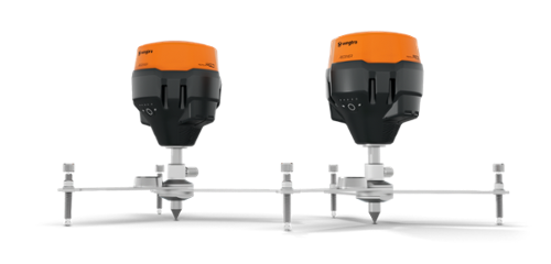
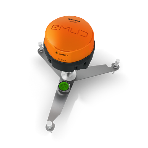
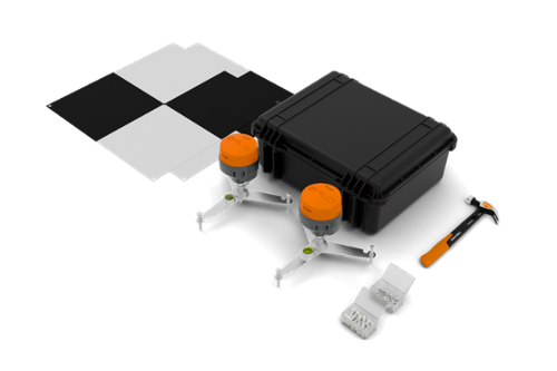
This compact yet powerful kit includes two GNSS receivers, two sturdy ground tripods, six flexible ground targets, nails, and a hammer, providing everything you need to perform precise surveying tasks in a range of environments. Whether conducting a field survey or collecting critical data for mapping and analysis, the WingtraGROUND ensures every measurement is precise and reliable, delivering professional-grade performance in a portable, easy-to-use package.
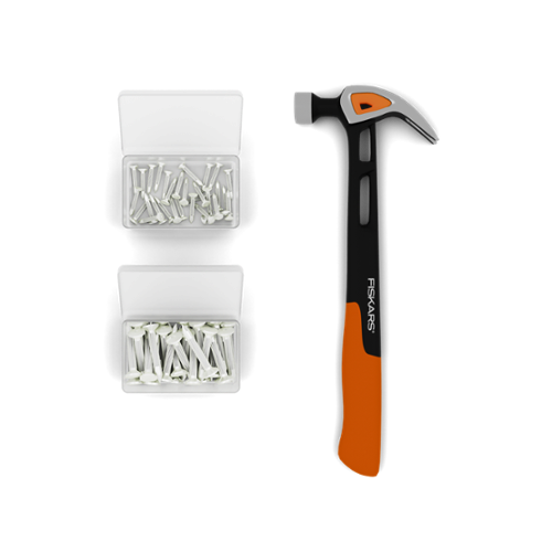
All-In-One Survey Kit: WingtraGROUND includes the GNSS receivers and field equipment required for base station and checkpoint workflows in one portable hard case. The kit contains two GNSS receivers, two fixed-dimension tripods, six flexible targets, survey nails, and a hammer.
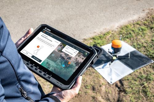
Integrated Wingtra Workflow: WingtraGROUND integrates with Wingtra software for setup, data collection, synchronization, and processing. After a flight, receiver data can synchronize automatically with the flight and be organized within a site using the project's preset coordinate system.
Step-By-step Guidance: The tablet workflow provides step-by-step guidance for setup and data collection and confirms receiver locations. Fixed-dimension tripods help eliminate antenna offset entry errors during field setup.
Survey Accuracy: WingtraGROUND supports 3 cm (0.1 ft) absolute accuracy under Wingtra's specified conditions: less than 1 cm GSD, less than 10 km baseline, well-textured land cover, good weather conditions, and an available known point with survey-grade accuracy.

Key Features:
- Portable all-in-one GNSS survey kit for drone mapping
- Two Emlid Reach RS3 GNSS receivers
- One receiver functions as the stationary base and one collects checkpoint data as the rover
- Two fixed-dimension ground tripods
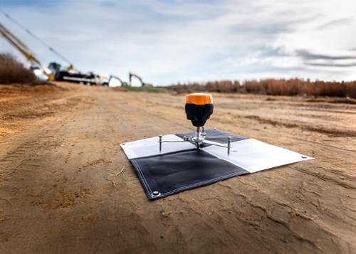
- Six flexible targets for ground control points and checkpoints
- Survey nails and hammer included
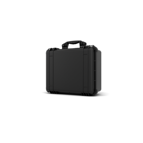
- Portable hard case included
- Step-by-step setup and data collection guidance
- Automatic GNSS data synchronization with Wingtra software
- 3 cm (0.1 ft) absolute accuracy under specified conditions
- Maximum base logging time of 22 hours
- 30-second checkpoint logging duration
- Up to 10 km maximum checkpoint-to-base distance for best accuracy
- Bluetooth and Wi-Fi communication
- PPK single-point processing
- PPK image geotagging
- Map processing with checkpoints or ground control points
- 184-channel GNSS receiver
- 16 GB internal storage
- IP67 receiver protection, waterproof to 1 meter
- Operating temperature range of -20°C to +65°C
Qty 2- WingtraGROUND GNSS Receivers
Qty 2- Ground Tripods
Qty 6- Flexible Ground Control Targets
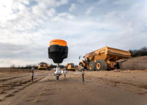
Qty 100- Survey Nails
Qty 1- Hammer
Qty 1- Hard Shell Carry Case