View Cart
0
Shop by Category
View Cart
0
Home Unmanned Autonomous Solutions Sensors and Payloads HD WINGTRARAY MAP61 PAYLOAD

WINGTRARAY MAP61 PAYLOAD

Calculating price...
PART: WR-ADD-MAP61
SUPPLIER: Wingtra AG
QUANTITY

About This Item:

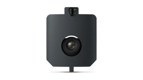
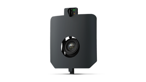
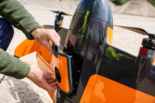
The WingtraRAY MAP61 Payload is a high-resolution RGB mapping camera designed for large-area mapping and detailed 3D reconstruction. It features a 61 MP full-frame sensor, 17 mm wide-angle lens, 15-degree low-oblique configuration, and 93-degree horizontal field of view. Under the conditions specified in the supplied MAP61 data sheet, the payload provides ground sampling distance down to 1.2 cm/px and PPK absolute accuracy down to 2 cm horizontal and 4 cm vertical without ground control points. 

MAP61 supports land management, mining and metals, urban planning, construction, and infrastructure mapping. Wingtra identifies applications including parcel boundary capture near buildings and trees, high-resolution 3D models for mining analysis, urban 3D digital twins, and road corridor capture for maintenance, planning, and monitoring. Its wide field of view is designed for efficient data capture, with the supplied specification listing coverage up to 460 ha (1,140 ac) in one flight at 120 m altitude and 2.7 cm/px GSD with 60% side overlap. 


Land management
Quickly capture parcel boundaries and obtain high-resolution data, including areas near buildings and trees.
 
Mining and metals
Use remote surveying to generate high-resolution 3D models for slope and rock composition analysis.


Urban planning
Generate high-resolution 3D digital twins to support stakeholder participation, planning, and taxation workflows.
 
Construction and infrastructure
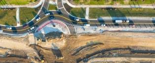
Capture high-resolution road corridor imagery by flying parallel to the corridor without stopping traffic, supporting maintenance, planning, and monitoring workflows.
 
Key Features:
  • 61 MP full-frame RGB sensor
  • 17 mm wide-angle lens
  • 15-degree low-oblique camera configuration
  • 93-degree horizontal field of view
  • 585 g (1.29 lb) payload weight including mount
  • Ground sampling distance down to 1.2 cm/px
  • PPK horizontal absolute accuracy down to 2 cm RMS without GCPs
  • PPK vertical absolute accuracy down to 4 cm RMS without GCPs
  • Up to 200 ha (500 ac) coverage at the lowest specified GSD
  • Up to 460 ha (1,140 ac) coverage at 120 m under specified conditions
  • 0.5-second minimum trigger time
  • 8 m (26 ft) minimum trigger distance
  • Designed for high-resolution 3D reconstruction and large-area mapping
  • Supports land management, mining and metals, urban planning, construction, and infrastructure applications
WINGTRA MAP61 SPECIFICATION SHEET

There are currently no specs for this product.