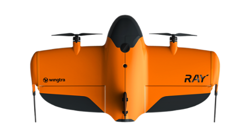
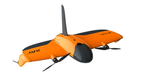
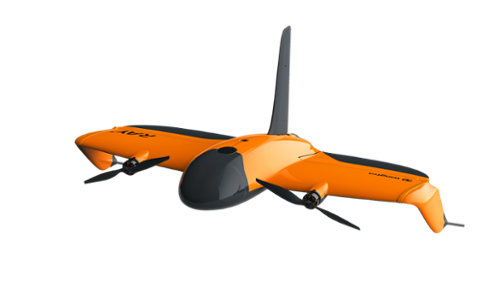
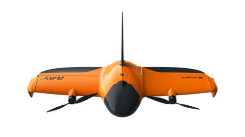
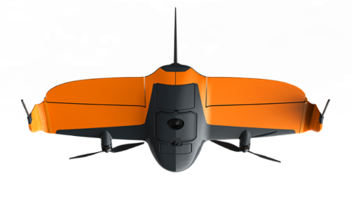
The WingtraRAY Spare Drone provides an additional WingtraRAY aircraft for professional aerial surveying and mapping operations. WingtraRAY combines vertical takeoff and landing with fixed-wing flight and supports photogrammetry, LiDAR, and multispectral data capture through interchangeable sensors. The platform offers up to 59 minutes of flight time and can cover up to 550 hectares (1,360 acres) in a single flight, depending on the payload and operating conditions.
Designed for surveying and GIS, construction and infrastructure, earthworks, mining and metals, environmental monitoring, and agriculture applications, WingtraRAY supports projects ranging from detailed site surveys to large-area mapping. Wingtra's connected workflow supports flight planning, aerial data capture, processing, collaboration, and integration with CAD and GIS software.
Fast and Efficient Aerial Surveys
WingtraRAY can survey 100 hectares (250 acres) in 10 minutes and supports coverage up to 550 hectares (1,360 acres) in one flight. Adaptive speed automatically adjusts the aircraft's speed based on output requirements to maximize coverage. Wingtra's connected workflow brings flight planning, data capture, processing, and export into a single toolchain.
|
|
Designed for Confident Field Operations
WingtraRAY includes obstacle avoidance and supports dual telemetry. An optional parachute add-on is available for operations over people and moving vehicles, subject to applicable operating requirements and regional approvals.
|
| |
One Platform for Survey and Mapping Applications
WingtraRAY supports interchangeable sensors for a range of aerial mapping and survey projects. Its available sensor options support RGB photogrammetry, LiDAR, and multispectral data capture for projects across urban and rural environments.
|
|
WingtraRAY is designed for professional aerial surveying and mapping across both small and large sites. Its VTOL configuration combines vertical takeoff and landing with efficient fixed-wing flight, while interchangeable sensors allow the platform to support different data collection requirements.
Reliable Survey Performance:
WingtraRAY provides up to 59 minutes of flight time for photogrammetry configurations and can cover up to 550 hectares (1,360 acres) in a single flight. Its adaptive flight speed reaches up to 22 m/s to support efficient data capture across different survey areas.
|
Efficient Data Collection:
WingtraRAY can survey 100 hectares (250 acres) in 10 minutes. The platform also supports a connected workflow from flight planning and capture through processing and export, helping consolidate aerial survey operations into a single workflow.
|
Versatile Survey Applications:
WingtraRAY supports multiple sensor types for photogrammetry, LiDAR, and multispectral data capture. Wingtra identifies applications across surveying and GIS, construction and infrastructure, earthworks, mining and metals, environmental monitoring, and agriculture.
|
Key Features:
- VTOL fixed-wing aircraft designed for professional surveying and mapping
- Up to 59 minutes of flight time with photogrammetry configurations
- Coverage up to 550 ha (1,360 ac) in one flight
- Surveys 100 ha (250 ac) in as little as 10 minutes
- Adaptive flight speed up to 22 m/s
- Supports interchangeable RGB, LiDAR, and multispectral sensors
- 3 cm (0.1 ft) absolute accuracy with PPK when following Wingtra's specified workflow
- Integrated obstacle avoidance
- Optional parachute system for supported operations over people
- Connected workflow for planning, capture, processing, collaboration, and CAD/GIS integration
There are currently no specs for this product.
Qty 1- WingtraRAY Spare Drone
Qty 1- Telemetry (2.4 GHz)