View Cart
0
Shop by Category
View Cart
0
Home Unmanned Autonomous Solutions Aerial Drones FLYABILITY ELIOS 3 SURVEYING PACKAGE

FLYABILITY ELIOS 3 SURVEYING PACKAGE

Calculating price...
PART: 260-ELIOS
SUPPLIER: FLYABILITY SA
QUANTITY

About This Item:

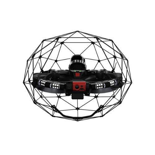
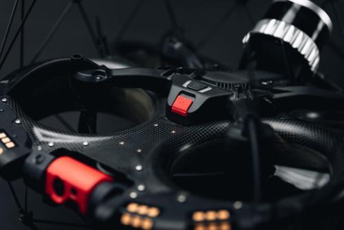
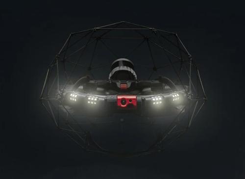
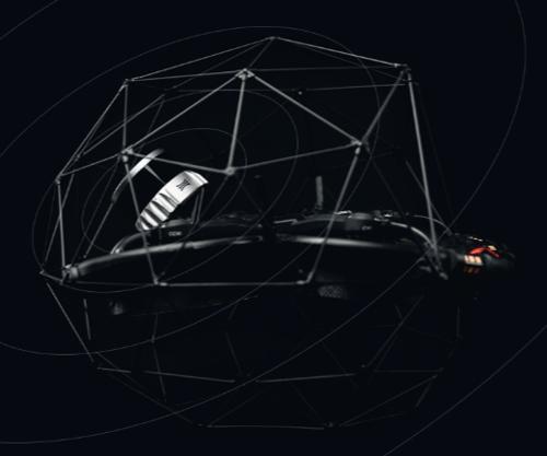
The Elios 3 Surveying Package combines the Elios 3 indoor drone platform with the Surveying Payload for LiDAR mapping and 3D data capture in confined and hard-to-reach environments. The Surveying Payload uses a high-resolution Ouster OS0-128 Rev 7 LiDAR sensor with FARO SLAM processing to create centimeter-accurate 3D maps and digital twins. Its mobile scanning approach allows point cloud and visual data to be collected beyond conventional access limitations, including through openings as small as 50 × 50 cm. 

The system is designed for surveying applications where detailed spatial data is required in areas that are difficult to reach with conventional surveying equipment. Flyability specifically documents applications involving confined spaces, tunnels, shafts, mines, construction environments, and other complex indoor assets. High-density point clouds can be used for measurement, analysis, reporting, asset documentation, and digital twin creation, while Inspector Online provides processing, visualization, sharing, and export tools for collected mapping data.


Mapping Hard-to-Reach Environments

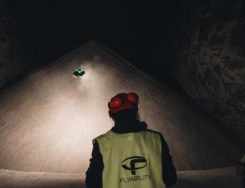
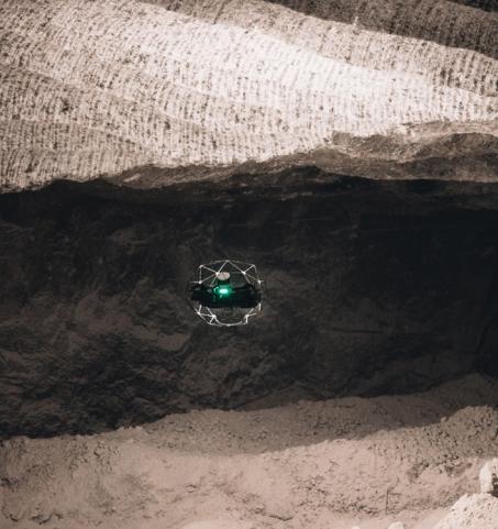
The Elios 3 Surveying Payload transforms the Elios 3 into a flying mobile scanner for collecting point cloud and visual data in areas that are difficult to access with conventional surveying equipment. The system can enter through openings as small as 50 × 50 cm, supporting data capture in confined and hazardous environments where fixed scanner positions and access limitations can leave areas unmapped.

Survey‑Grade Accuracy
The Surveying Payload combines an Ouster OS0-128 Rev 7 LiDAR sensor with FARO SLAM processing to generate centimeter-accurate 3D maps and digital twins. Flyability specifies precision of ±1.2 cm at two sigma and approximately 0.1% to 0.2% drift in structured environments when Surveying Package data is processed using High-Accuracy Mapping in Inspector Online and applicable mapping guidelines are followed.
 
Survey Beyond Conventional Access

The Elios 3 Surveying Payload supports LiDAR and visual data capture in confined areas that are difficult to survey using conventional equipment. Its flying mobile scanner configuration allows the Elios 3 to collect data through openings as small as 50 × 50 cm and extend mapping coverage beyond fixed scanner positions.

Mobile LiDAR Mapping

The Surveying Payload provides a LiDAR range of up to 100 meters at 80% reflectivity and generates approximately 1.3 million points per second. Flyability states that the system can scan a 300-meter tunnel in a single closed-loop flight, demonstrating its use for continuous mobile mapping in long confined environments.

High-Density Point Cloud Capture

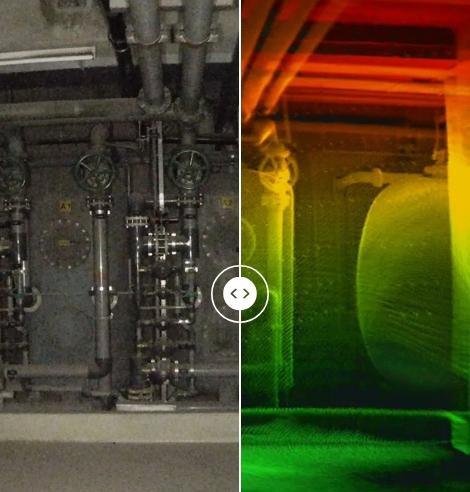
The Elios 3 Surveying Payload captures high-density point clouds and visual data for measurement, analysis, reporting, and asset documentation. This data can be processed into detailed 3D representations of complex indoor spaces and used to support digital twin and spatial analysis workflows.

High-Accuracy Mapping

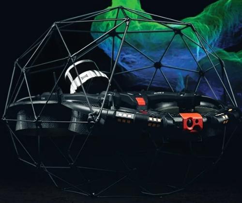
High-Accuracy Mapping uses FARO's SLAM processing algorithm to convert Elios 3 Surveying Payload data into processed point clouds in Inspector Online. The software provides optimized SLAM presets for common capture scenarios and can produce survey-grade point clouds with as little as 0.1% drift.

Inspector Online

Inspector Online provides a single environment for working with mapping outputs, inspection video, flight trajectories, and measurements. Processed point clouds can be viewed and shared through a web link, and completed point clouds can be exported in LAS format. Cloud-based processing allows collected LiDAR data to be processed without requiring a high-powered local computer.

 
Key Features:
  • Surveying Payload for Elios 3 mobile LiDAR scanning
  • Ouster OS0-128 Rev 7 high-resolution LiDAR sensor
  • FARO SLAM processing for high-accuracy mapping
  • Centimeter-accurate 3D mapping
  • ±1.2 cm precision at two sigma
  • Approximately 0.1% to 0.2% drift in structured environments with High-Accuracy Mapping
  • Up to 100 m LiDAR range at 80% reflectivity
  • Up to 35 m LiDAR range at 10% reflectivity
  • Approximately 1.3 million points per second
  • Point cloud and visual data capture
  • Access through openings as small as 50 × 50 cm
  • 300-meter tunnel scanning demonstrated in a single closed-loop flight
  • High-Accuracy Mapping powered by FARO processing
  • Inspector Online point cloud visualization and processing
  • LAS point cloud export
  • Supports 3D mapping, measurements, digital twins, analysis, reporting, and asset documentation
ELIOS 3 SURVEYING PAYLOAD SPECIFICATION SHEET

There are currently no specs for this product.