View Cart
0
Shop by Category
View Cart
0
Home WINGTRARAY SURVEY61 61MP RGB MAPPING CAMERA

WINGTRARAY SURVEY61 61MP RGB MAPPING CAMERA

Calculating price...
PART: WR-ADD-SURV61
SUPPLIER: Wingtra AG
QUANTITY

About This Item:

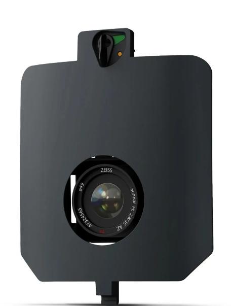
The WingtraRAY SURVEY61 is a high-accuracy RGB mapping camera designed for photogrammetry and surveying with the WingtraRAY drone. It features a 61 MP full-frame sensor, low-distortion 35 mm lens, nadir configuration, mechanical shutter, and precise PPK positioning. The camera delivers a ground sampling distance as low as 0.5 cm/px and can achieve 3 cm absolute accuracy with PPK when following Wingtra's recommended workflow. With coverage up to 270 ha at 120 m, SURVEY61 supports efficient high-resolution data capture for small and large survey projects. 

SURVEY61 is designed for high-frequency, repeatable survey work where accuracy and consistent data are important. Wingtra identifies construction and earthworks, mining and metals, and surveying and mapping among its use cases. The camera can support workflows using checkpoints rather than dense ground control point layouts, helping survey teams reduce ground target placement while validating survey accuracy.


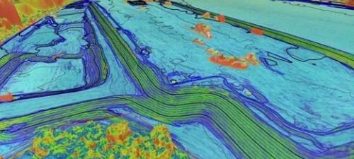
High-Accuracy Photogrammetry for Surveying and Mapping
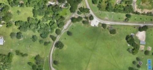
Reliable Survey Data with Fewer Ground Control Points


Measure with More Confidence
SURVEY61 can achieve 3 cm absolute accuracy with PPK when following Wingtra's recommended workflow, providing reliable data for surveying and repeat measurement applications.
 
Get Sharper Details
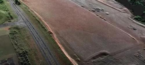
he 61 MP full-frame sensor and low-distortion 35 mm lens capture high-resolution nadir imagery with a ground sampling distance down to 0.5 cm/px at 46 m altitude.


Cover Large Survey Areas in One Flight
Cover up to 270 ha (670 ac) in one flight, supporting efficient aerial data collection across large survey areas.
 

Full-Frame Clarity

The 61 MP full-frame RGB sensor combines with a low-distortion 35 mm lens and nadir configuration for high-resolution aerial photogrammetry and mapping.


Key Features:
  • 61 MP full-frame RGB sensor
  • Low-distortion 35 mm lens with nadir configuration
  • Ground sampling distance down to 0.5 cm/px at 46 m altitude
  • 3 cm absolute accuracy with PPK using Wingtra's recommended workflow
  • Maximum coverage of 270 ha (670 ac) at 120 m
  • Mechanical shutter for photogrammetry capture
  • Designed for high-accuracy surveying and repeat mapping workflows


WINGTRARAY SENSORS SPECIFICATION SHEET

There are currently no specs for this product.

Qty 1 - SURVEY61 Payload (Including Mount for WingtraRay)

Qty 1 - Storage Device